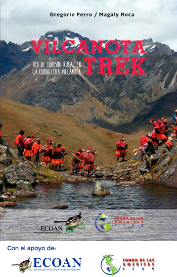
Vilcanota Trek

Guidebook

Guidebook

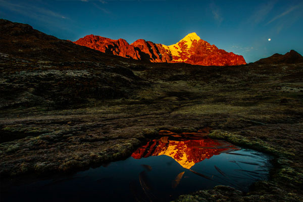
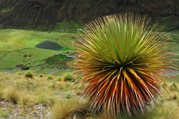
This document, the first of this type, highlights the work of the peasant communities in the upper part of the Vilcanota Mountain Range, where there are remnants of “Queuñales” (Polylepis sp.) forests, distributed from 3,500 to 5,000 meters of altitude, located in many cases at the foot of the snow-capped mountains.


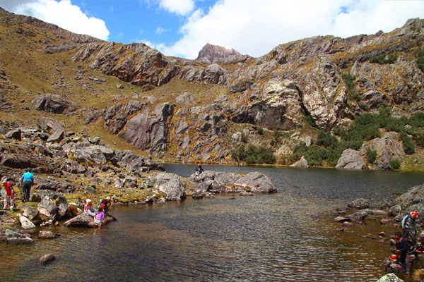
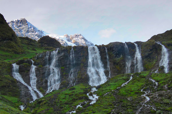
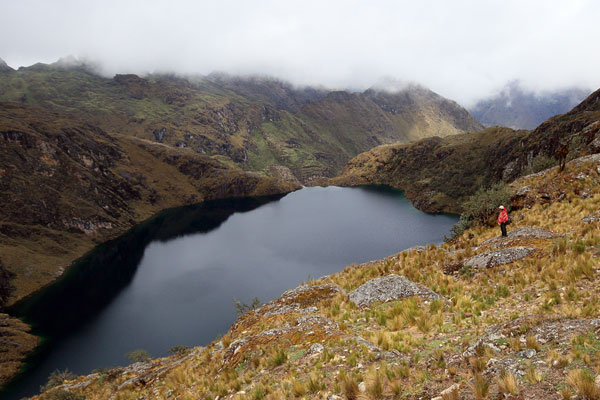
These fragile ecosystems are the habitat of a great diversity of flora and fauna. There are lagoons, wetlands, proper of these ecosystems that provide different ecosystem services, among which we can mention the reduction of the carbon footprint, the reduction of erosion processes, and the balance of water flow during the year, as well as other ecological processes, fundamental for life.

In the upper part of the Vilcanota Mountain Range, there are communities that coexist with the forest and, because of the great importance of these resources, at the initiative of the inhabitants, conservation areas have been created, which are managed and administered by 16 communities, of which there are already 09 Private Conservation Areas, recognized by the Ministry of the Environment.


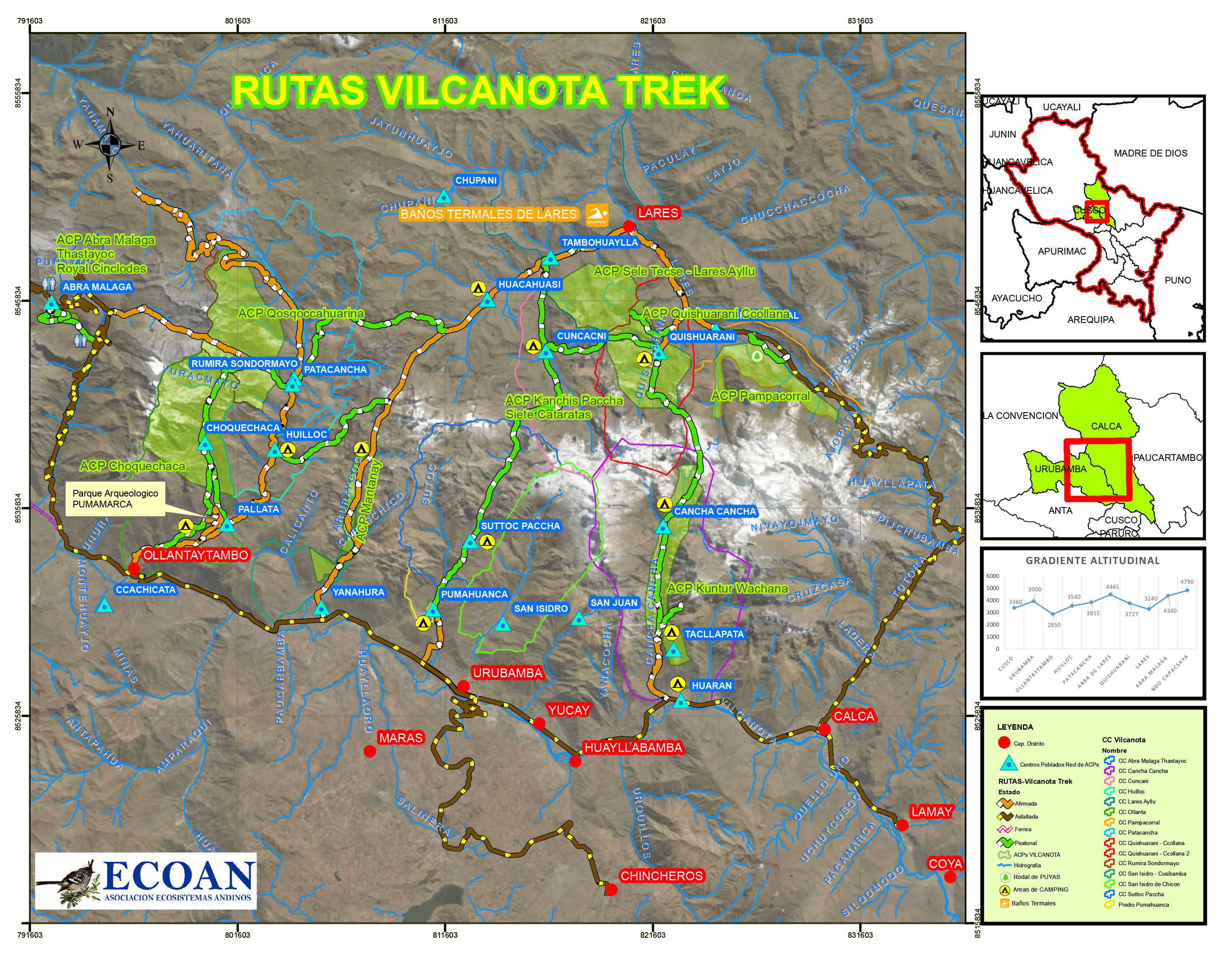
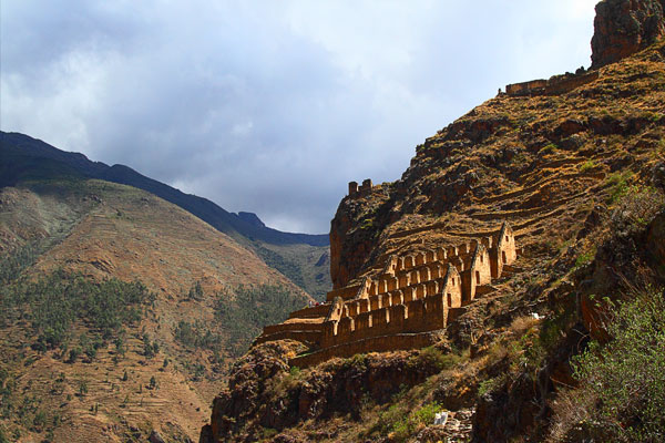
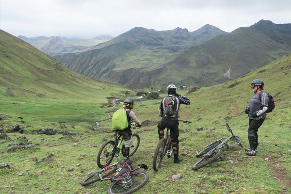
This guide presents 07 initial routes or vertebrae of multiple routes that can be made in these spectacular Cusco mountains of Vilcanota. Each route has a map that includes distances, services, and communities. In addition, it has introductory texts and photographs that show scenery, people, culture, biodiversity, and strategic conservation areas. We hope that this material can be useful to the visitor and motivate the greater understanding of the processes that are carried out in this area, being tourism a key element.

Routes

    From the Network of ACPs, the circuit of routes has been designed in the central part of the Vilcanota Mountain Range, called “Vilcanota Trek”, which - among other things - will make it possible the improvement and sustainability of tourist services, where peasant communities with the support of ECOAN see their insertion in the markets of environmental tourist services, because they are areas rich in biodiversity linked to high Andean crops, local textile industry, the presence of important archaeological remains of pre-Inca and Inca cultures, in addition to its enviable location in the mid-part of the Vilcanota Basin and the Sacred Valley of the Incas, and that together comprise a favorable offer to develop ecotourism.


    Region covered

      The area of the routes of the “Vilcanota Trek” is located in the central part of the Cordillera de los Andes of the South, in the strip that corresponds to the Vilcanota Mountain Range. If the classification of Dr. Antonio Brack is considered, it is located in the Ecoregion of Puna and Cordillera, which goes from 3,800 m.a.s.l. until the high parts of the Andes, with cold climate, and strong solar exposure, habitat of the Andean Condor, the forests of queuñales, as well as wetlands and lagoons that provide ecological services and great scenic and environmental attractiveness for the development of tourism.


      Vilcanota Trek

      Level of demand

      The level of demand for routes is medium to high. Easy access at the beginning, followed by roads with climbs, different altitude gradients until reaching the pass of about 4,000 - 4,800 m.a.s.l. Then, you will descend. Acclimatization is important before trekking. It is possible to see the distances in the maps.


      Queuña Raymi